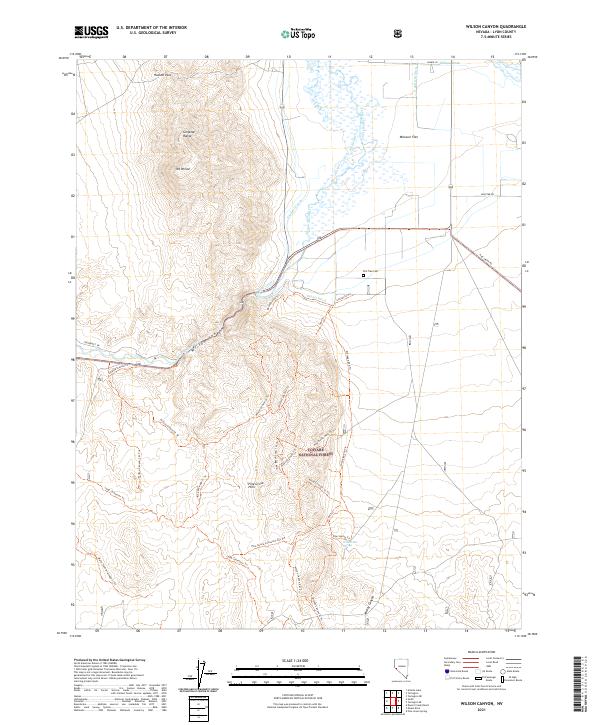
2021 Map of Wilson Canyon
USGS Topo · Published 2021About this map
Wilson Canyon serves as a dramatic focal point where the West Walker River cuts through the desert terrain of Lyon County. This 2021 survey reveals a complex irrigation network essential to the high-desert landscape, featuring the Westside Canal, Tunnel Ditch, and Sanders Canal winding through Missouri Flat. To the north, the elevations of the Singatse Range and Mt Wilson dominate the skyline, while the Pine Grove Hills rise to the south within the Toiyabe National Forest. Local history and land use are etched into the map through features like Elm Tree Cem and the Wilson Hot Spring. A dense network of trails, including the Wilson Canyon St Trl and Mickey Canyon St Trl, spiderwebs across the ridges, documenting modern access to this traditional ranching and transit corridor between Hudson Pass and the river valley.
Find a feature on this map
45 named features on this map. Tap any name to fly to it.
Don’t see what you’re looking for? This feature index may not catch every label — zoom into the map to look around manually.
Map Details
Editions of this 2021 Wilson Canyon Map
This is the sole edition of this map. No revisions or reprints were ever made.
Other maps of this area

1891 · Wellington
USGS Topo · 1:125,000

1893 · Wellington
USGS Topo · 1:125,000

1948 · Walker Lake
USGS Topo · 1:250,000

1956 · Desert Creek Peak
USGS Topo · 1:62,500

1957 · Walker Lake
USGS Topo · 1:250,000

1957 · Wellington
USGS Topo · 1:62,500

1957 · Yerington
USGS Topo · 1:62,500

1958 · Pine Grove Hills
USGS Topo · 1:62,500

1962 · Walker Lake
USGS Topo · 1:250,000

1964 · Walker Lake
USGS Topo · 1:250,000