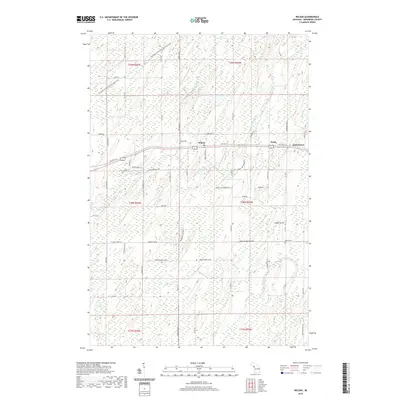
2019 Map of Wilson
USGS Topo · Published 2019About this map
Wilson and the nearby settlements of Houle and Indiantown anchor this portion of Nadeau Township, where the landscape is defined by the winding course of the Cedar River and its numerous tributaries. Modern recreational infrastructure follows the path of history along the Escanaba to Hermanville State Trail, which cuts diagonally across the northern townships. For those tracing family roots in Menominee County, the map precisely locates the Wilson Cem and Harris Cem, alongside numerous family-named roads such as Kell Road G 25 and Sabourin Ln D 1. The drainage patterns of Wilson Creek, Houle Cr, and Gogarnski Cr illustrate a complex wetland environment, punctuated by small bodies of water like Indian Lake and Kitchner Lake.
Find a feature on this map
73 named features on this map. Tap any name to fly to it.
Don’t see what you’re looking for? This feature index may not catch every label — zoom into the map to look around manually.
Map Details
Editions of this 2019 Wilson Map
This is the sole edition of this map. No revisions or reprints were ever made.
Other maps of this area

1932 · Bark River NE
USGS Topo · 1:31,680

1932 · Whitney SE
USGS Topo · 1:31,680

1954 · Escanaba
USGS Topo · 1:250,000

1956 · Foster City
USGS Topo · 1:62,500

1957 · Escanaba
USGS Topo · 1:250,000

1958 · Escanaba
USGS Topo · 1:250,000

1963 · Bark River
USGS Topo · 1:62,500

1963 · Powers
USGS Topo · 1:62,500

1963 · Schaffer
USGS Topo · 1:62,500

1982 · Escanaba
USGS Topo · 1:100,000