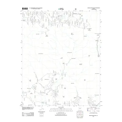
2011 Map of Wilson Mountain
USGS Topo · Published 2011About this map
Wilson Mountain and the high plateaus of the Coconino National Forest define this landscape north of Sedona during the early 21st century. The map illustrates a complex network of forest access and recreation, anchored by the East Pocket Lookout Tower and a series of established camps along the eastern corridor including Side Rock Campground, Bootlegger Campground, and Banjo Bill Campground. The terrain is marked by significant natural landmarks such as Devils Bridge, Vultee Arch, and Fay Canyon Arch, which draw visitors to the red rock country.
Find a feature on this map
68 named features on this map. Tap any name to fly to it.
Don’t see what you’re looking for? This feature index may not catch every label — zoom into the map to look around manually.
Map Details
Editions of this 2011 Wilson Mountain Map
This is the sole edition of this map. No revisions or reprints were ever made.
Other maps of this area

1886 · San Francisco Mtns
USGS Topo · 1:250,000

1887 · Verde
USGS Topo · 1:250,000

1891 · San Francisco Mtns
USGS Topo · 1:250,000

1892 · Verde
USGS Topo · 1:250,000

1894 · San Francisco Mtns
USGS Topo · 1:250,000

1899 · San Francisco Mtns
USGS Topo · 1:250,000

1908 · Flagstaff
USGS Topo · 1:125,000

1912 · Flagstaff
USGS Topo · 1:125,000

1923 · Camp Verde
USGS Topo · 1:125,000

1932 · Camp Verde
USGS Topo · 1:125,000