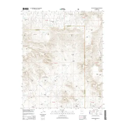
2014 Map of Wilson Mountain
USGS Topo · Published 2014About this map
Sedona and West Sedona sit at the southern edge of this complex canyon landscape, where residential development meets the protected wilderness of the Coconino National Forest. The map reveals a high concentration of distinctive natural formations that define the region's geography, from the heights of Wilson Mountain and Secret Mtn to the narrow corridors of Secret Canyon and Oak Creek Canyon. This era of mapping documents the established network of forest roads and trails, such as Boynton Pass Rd and Golf Club Way, which provide access to famous landmarks like the Devils Bridge and Vultee Arch. Numerous livestock tanks, including Rattlesnake Tank and Hancock Cabin Tank, are scattered across the mesas, indicating the area's continued use for ranching despite the growing influence of the nearby town centers.
Find a feature on this map
74 named features on this map. Tap any name to fly to it.
Don’t see what you’re looking for? This feature index may not catch every label — zoom into the map to look around manually.
Map Details
Editions of this 2014 Wilson Mountain Map
This is the sole edition of this map. No revisions or reprints were ever made.
Other maps of this area

1886 · San Francisco Mtns
USGS Topo · 1:250,000

1887 · Verde
USGS Topo · 1:250,000

1891 · San Francisco Mtns
USGS Topo · 1:250,000

1892 · Verde
USGS Topo · 1:250,000

1894 · San Francisco Mtns
USGS Topo · 1:250,000

1899 · San Francisco Mtns
USGS Topo · 1:250,000

1908 · Flagstaff
USGS Topo · 1:125,000

1912 · Flagstaff
USGS Topo · 1:125,000

1923 · Camp Verde
USGS Topo · 1:125,000

1932 · Camp Verde
USGS Topo · 1:125,000