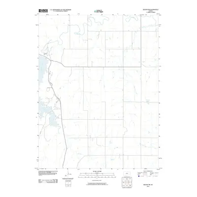
2010 Map of Wilson NW
USGS Topo · Published 2010About this map
Wilson Lake dominates the western edge of this central Kansas landscape, held back by the prominent Wilson Dam. The reservoir creates a complex shoreline of inlets and points that contrast with the organized grid of the surrounding uplands. The drainage of the Saline River cuts across the northern portion of the quadrangle, while smaller tributaries like Hell Creek and West Twin Creek carve through the prairie to the south and east.
Find a feature on this map
12 named features on this map. Tap any name to fly to it.
Don’t see what you’re looking for? This feature index may not catch every label — zoom into the map to look around manually.
Map Details
Editions of this 2010 Wilson NW Map
This is the sole edition of this map. No revisions or reprints were ever made.
Other maps of this area

1894 · Ellsworth
USGS Topo · 1:125,000

1894 · Beloit
USGS Topo · 1:125,000

1896 · Osborne
USGS Topo · 1:125,000

1896 · Russell
USGS Topo · 1:125,000

1955 · Great Bend
USGS Topo · 1:250,000

1955 · Beloit
USGS Topo · 1:250,000

1956 · Wilson
USGS Topo · 1:24,000

1956 · Dorrance
USGS Topo · 1:24,000

1957 · Great Bend
USGS Topo · 1:250,000

1957 · Black Wolf
USGS Topo · 1:24,000