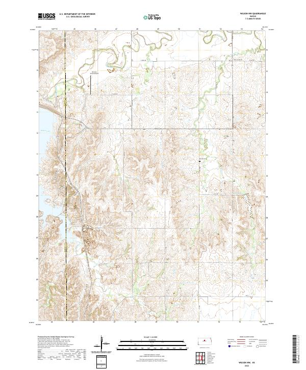
2022 Map of Wilson NW
USGS Topo · Published 2022About this map
Saline River meanders across the northern reaches of this Lincoln County landscape, defining a terrain shaped by deep creek drainages and high prairie ridges. The southern portion is dominated by the complex shoreline of Wilson Lake, where residential developments are marked by streets like Lakeshore Dr and Lakeview Ln. This 2022 survey captures the modern interface between traditional Kansas ranch land and recreational geography. Genealogists and local historians will find the Hynes Cem situated centrally among the rolling hills, while the presence of Minnow Creek Airport and the historic naming of Rock Island Rd point to the area's transportation evolution. The map meticulously details the multiple branches of Hell Creek as they carve through the southwestern sections, providing a clear picture of the natural watershed before it enters the reservoir.
Find a feature on this map
30 named features on this map. Tap any name to fly to it.
Don’t see what you’re looking for? This feature index may not catch every label — zoom into the map to look around manually.
Map Details
Editions of this 2022 Wilson NW Map
This is the sole edition of this map. No revisions or reprints were ever made.
Other maps of this area

1894 · Ellsworth
USGS Topo · 1:125,000

1894 · Beloit
USGS Topo · 1:125,000

1896 · Osborne
USGS Topo · 1:125,000

1896 · Russell
USGS Topo · 1:125,000

1955 · Great Bend
USGS Topo · 1:250,000

1955 · Beloit
USGS Topo · 1:250,000

1956 · Wilson
USGS Topo · 1:24,000

1956 · Dorrance
USGS Topo · 1:24,000

1957 · Great Bend
USGS Topo · 1:250,000

1957 · Black Wolf
USGS Topo · 1:24,000