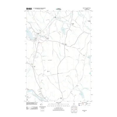
2011 Map of Wilton
USGS Topo · Published 2011About this map
Wilson Stream and Wilson Pond anchor the town of Wilton, where local history is preserved at the Wilton Farm and Home Museum. The landscape is a network of small villages and historical family corners, including East Wilton, Dryden, Beans Corner, and MacQuillis Corner. The northern reach is characterized by the waters of Pease Pond and Varnum Stream, while the southern portion transition towards the industrial corridor along the Androscoggin River.
Find a feature on this map
114 named features on this map. Tap any name to fly to it.
Don’t see what you’re looking for? This feature index may not catch every label — zoom into the map to look around manually.
Map Details
Editions of this 2011 Wilton Map
This is the sole edition of this map. No revisions or reprints were ever made.
Other maps of this area

1910 · Livermore
USGS Topo · 1:62,500

1911 · Buckfield
USGS Topo · 1:62,500

1912 · Livermore
USGS Topo · 1:62,500

1913 · Buckfield
USGS Topo · 1:62,500

1924 · Farmington
USGS Topo · 1:62,500

1926 · Dixfield
USGS Topo · 1:62,500

1929 · Dixfield
USGS Topo · 1:62,500

1941 · Livermore
USGS Topo · 1:62,500

1942 · Buckfield
USGS Topo · 1:62,500

1950 · Lewiston
USGS Topo · 1:250,000