Loading...
Loading map...2024 Map of Wimauma
USGS Topo · Published 2024About this map
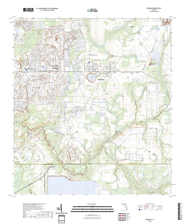
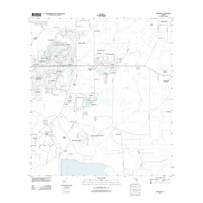
The sprawling residential streetscapes of Sun City Center dominate the northwestern portion of this 2024 landscape, showcasing the meticulously planned golf-course communities that define this part of Hillsborough County. To the east, the traditional settlement of Wimauma retains a more grid-like urban core centered near Lake Wimauma and the Wimauma Air Park, providing a distinct contrast in development styles.
Find a feature on this map
104 named features on this map. Tap any name to fly to it.
Don’t see what you’re looking for? This feature index may not catch every label — zoom into the map to look around manually.
Map Details
Date Portrayed2024
Date Published2024
PublisherU.S. Geological Survey
Map TypeTopographic
Scale1:24,000
Physical Dimensions24 x 29 inches
Editions of this 2024 Wimauma Map
This is the sole edition of this map. No revisions or reprints were ever made.
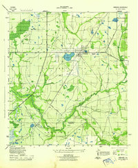
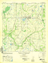
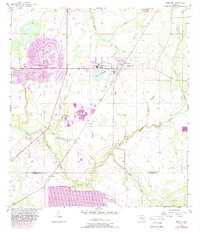
Historical Maps of Amberwave Estates Through Time
8 maps found
Featured Locations
- Amberwave Estates, FL
- Arbors at Freedom Plaza, FL
- Pippin Farms, FL
- Morris Park Farms, FL
- West Lake Farms, FL
Source Details
SourceU.S. Geological Survey
CopyrightPublic Domain