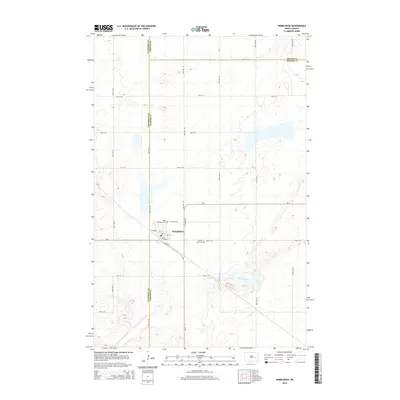
2014 Map of Wimbledon
USGS Topo · Published 2014About this map
Wimbledon serves as the central hub of this prairie landscape, where the local economy and geography were historically shaped by the rail line running along Railway St. The village layout is clearly defined by streets like Center St and Out St, anchored by a local Po that remains a vital point of interest for those researching the town's civic development. The surrounding countryside is divided by a rigorous grid of section-line roads, including 97th Ave SE and 17th St SE, which provide access to family farmsteads and rural landmarks.
Find a feature on this map
28 named features on this map. Tap any name to fly to it.
Don’t see what you’re looking for? This feature index may not catch every label — zoom into the map to look around manually.
Map Details
Editions of this 2014 Wimbledon Map
This is the sole edition of this map. No revisions or reprints were ever made.
Other maps of this area

1900 · Pingree
USGS Topo · 1:125,000

1951 · Spiritwood Lake
USGS Topo · 1:24,000

1951 · Courtenay
USGS Topo · 1:24,000

1951 · Kensal SE
USGS Topo · 1:24,000

1952 · New Rockford
USGS Topo · 1:250,000

1956 · New Rockford
USGS Topo · 1:250,000

1961 · Leal
USGS Topo · 1:24,000

1961 · Revere
USGS Topo · 1:24,000

1961 · Wimbledon
USGS Topo · 1:24,000

1961 · Wimbledon NE
USGS Topo · 1:24,000