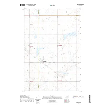
2018 Map of Wimbledon
USGS Topo · Published 2018About this map
The town of Wimbledon serves as a central hub in this high-plains landscape, situated at the junction of Co Hwy 4 and Railway St. The street grid reflects the community's early development, with names like Center St and Out St defining the core residential and commercial layout. The map documents the intersection of three counties, showing how the boundaries of Stutsman, Griggs, and Barnes meet in the rural township sections surrounding the town.
Find a feature on this map
34 named features on this map. Tap any name to fly to it.
Don’t see what you’re looking for? This feature index may not catch every label — zoom into the map to look around manually.
Map Details
Editions of this 2018 Wimbledon Map
This is the sole edition of this map. No revisions or reprints were ever made.
Other maps of this area

1900 · Pingree
USGS Topo · 1:125,000

1951 · Spiritwood Lake
USGS Topo · 1:24,000

1951 · Courtenay
USGS Topo · 1:24,000

1951 · Kensal SE
USGS Topo · 1:24,000

1952 · New Rockford
USGS Topo · 1:250,000

1956 · New Rockford
USGS Topo · 1:250,000

1961 · Leal
USGS Topo · 1:24,000

1961 · Revere
USGS Topo · 1:24,000

1961 · Wimbledon
USGS Topo · 1:24,000

1961 · Wimbledon NE
USGS Topo · 1:24,000