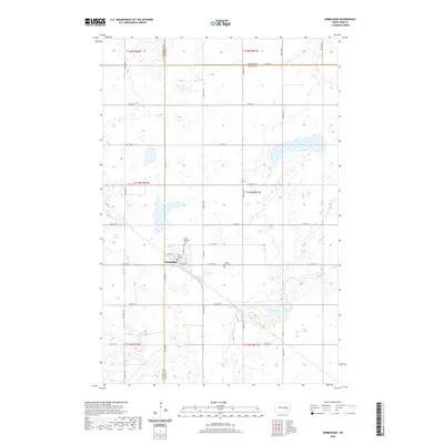
2020 Map of Wimbledon
USGS Topo · Published 2020About this map
The town of Wimbledon serves as a central hub on this North Dakota prairie landscape, where the intersection of Center St and Railway St marks the community's historic core. Situated at the junction of Barnes, Stutsman, and Griggs counties, the area is defined by a grid of rural roads such as 17th St SE and 97th Ave SE that cross a terrain dotted with numerous small wetlands. For those tracing local history, the map identifies two significant burial grounds on the outskirts of the settlement: Saint Boniface Cem to the north and Prairie View Cem to the east. The southeastern portion of the map is dominated by the natural basin of Mud Lake, providing a clear contrast to the structured agricultural sections and townships including t143n r61w.
Find a feature on this map
33 named features on this map. Tap any name to fly to it.
Don’t see what you’re looking for? This feature index may not catch every label — zoom into the map to look around manually.
Map Details
Editions of this 2020 Wimbledon Map
This is the sole edition of this map. No revisions or reprints were ever made.
Other maps of this area

1900 · Pingree
USGS Topo · 1:125,000

1951 · Spiritwood Lake
USGS Topo · 1:24,000

1951 · Courtenay
USGS Topo · 1:24,000

1951 · Kensal SE
USGS Topo · 1:24,000

1952 · New Rockford
USGS Topo · 1:250,000

1956 · New Rockford
USGS Topo · 1:250,000

1961 · Leal
USGS Topo · 1:24,000

1961 · Revere
USGS Topo · 1:24,000

1961 · Wimbledon
USGS Topo · 1:24,000

1961 · Wimbledon NE
USGS Topo · 1:24,000