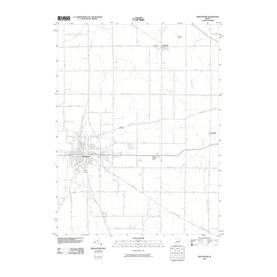
2010 Map of Winchester
USGS Topo · Published 2010About this map
Winchester serves as the focal point of this Randolph County landscape, where the grid of the city meets a network of historic transit corridors like the Union City Pike and E Greenville Pike. The area is defined by its agrarian patterns and the serpentine path of the White River, which winds eastward toward Harrisville. This survey preserves the locations of several burial grounds essential for genealogical research, including Fountain Park Cemetery on the southern edge of the county seat and the more secluded Moffitt Cemetery. Further north, the small settlement of Saratoga is situated near the Saratoga Cemetery and Saratoga Airport, illustrating a landscape where aviation and agriculture have long coexisted. Numerous tributaries such as Salt Creek, Sugar Creek, and Peach Creek drain the surrounding farmlands, providing a detailed look at the local watershed and rural property divisions.
Find a feature on this map
45 named features on this map. Tap any name to fly to it.
Don’t see what you’re looking for? This feature index may not catch every label — zoom into the map to look around manually.
Map Details
Editions of this 2010 Winchester Map
This is the sole edition of this map. No revisions or reprints were ever made.
Other maps of this area

1915 · Fort Recovery
USGS Topo · 1:48,000

1916 · Winchester
USGS Topo · 1:48,000

1918 · Winchester
USGS Topo · 1:62,500

1918 · Fort Recovery
USGS Topo · 1:62,500

1943 · Winchester
USGS Topo · 1:62,500

1952 · Maxville
USGS Topo · 1:24,000

1953 · Muncie
USGS Topo · 1:250,000

1956 · Muncie
USGS Topo · 1:250,000

1960 · Union City
USGS Topo · 1:24,000

1960 · Carlos
USGS Topo · 1:24,000