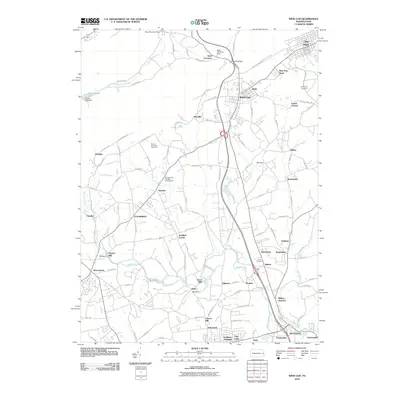
2010 Map of Wind Gap
USGS Topo · Published 2010About this map
Wind Gap serves as the topographic centerpiece of this Northampton County landscape, where the Appalachian Trl traverses the ridgeline near Ross Common. The map captures a high density of small, established settlements that speak to the region's industrial and agricultural history, including Pen Argyl, Belfast, and Schoeneck. Water power and early industry are evident through features like Haynes Mill, Sours Mills, and the Aluta mill dam along Bushkill Creek.
Find a feature on this map
114 named features on this map. Tap any name to fly to it.
Don’t see what you’re looking for? This feature index may not catch every label — zoom into the map to look around manually.
Map Details
Editions of this 2010 Wind Gap Map
This is the sole edition of this map. No revisions or reprints were ever made.
Other maps of this area

1890 · Easton
USGS Topo · 1:62,500

1891 · Easton
USGS Topo · 1:62,500

1891 · Delaware Water Gap
USGS Topo · 1:62,500

1893 · Delaware Water Gap
USGS Topo · 1:62,500

1894 · Allentown
USGS Topo · 1:62,500

1914 · Wind Gap
USGS Topo · 1:62,500

1916 · Wind Gap
USGS Topo · 1:62,500

1932 · Easton
USGS Topo · 1:62,500

1936 · Delaware Water Gap
USGS Topo · 1:48,000

1939 · Allentown
USGS Topo · 1:62,500
Featured Places
- Pen Argyl, PA
- Wind Gap, PA
- Bushkill Township, PA
- Clearfield, Bushkill Township
- Grand Central, Plainfield Township