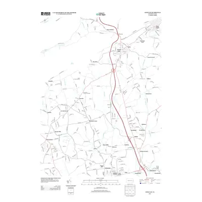
2013 Map of Wind Gap
USGS Topo · Published 2013About this map
Wind Gap serves as a prominent geographic and transit focal point on the southern edge of the Blue Mountain range. The landscape is characterized by a dense network of small communities and historical industrial sites, particularly milling operations like Sours Mills and Haynes Mill. The eastern edge of the survey area is dominated by the borough of Pen Argyl and its neighbor West Pen Argyl, where the town layout reveals the region's long-standing residential density.
Find a feature on this map
259 named features on this map. Tap any name to fly to it.
Don’t see what you’re looking for? This feature index may not catch every label — zoom into the map to look around manually.
Map Details
Editions of this 2013 Wind Gap Map
This is the sole edition of this map. No revisions or reprints were ever made.
Other maps of this area

1890 · Easton
USGS Topo · 1:62,500

1891 · Easton
USGS Topo · 1:62,500

1891 · Delaware Water Gap
USGS Topo · 1:62,500

1893 · Delaware Water Gap
USGS Topo · 1:62,500

1894 · Allentown
USGS Topo · 1:62,500

1914 · Wind Gap
USGS Topo · 1:62,500

1916 · Wind Gap
USGS Topo · 1:62,500

1932 · Easton
USGS Topo · 1:62,500

1936 · Delaware Water Gap
USGS Topo · 1:48,000

1939 · Allentown
USGS Topo · 1:62,500
Featured Places
- Pen Argyl, PA
- Wind Gap, PA
- Bushkill Township, PA
- Clearfield, Bushkill Township
- Grand Central, Plainfield Township