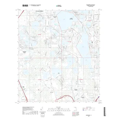
2018 Map of Windermere
USGS Topo · Published 2018About this map
Lake Butler and its sprawling chain of lakes define this portion of Orange County, where the transition from citrus groves to residential communities is well underway. The town of Windermere sits on an isthmus between several major water bodies, including Lake Down and Lake Bessie, while the established community of Bay Hill occupies the land to the southeast. To the south, the massive footprint of Bay Lake and Lake Buena Vista marks the significant presence of major tourism infrastructure, anchored by features like Riles Island and Bear Island.
Find a feature on this map
215 named features on this map. Tap any name to fly to it.
Don’t see what you’re looking for? This feature index may not catch every label — zoom into the map to look around manually.
Map Details
Editions of this 2018 Windermere Map
This is the sole edition of this map. No revisions or reprints were ever made.
Other maps of this area

1953 · Lake Jessamine
USGS Topo · 1:24,000

1953 · Kissimmee
USGS Topo · 1:24,000

1953 · Windermere
USGS Topo · 1:24,000

1953 · Intercession City
USGS Topo · 1:24,000

1955 · Orlando
USGS Topo · 1:250,000

1956 · Winter Garden
USGS Topo · 1:24,000

1956 · Orlando West
USGS Topo · 1:24,000

1957 · Orlando
USGS Topo · 1:250,000

1958 · Orlando
USGS Topo · 1:250,000

1959 · Lake Louisa
USGS Topo · 1:24,000