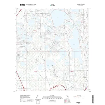
2021 Map of Windermere
USGS Topo · Published 2021About this map
Lake Butler and its neighboring waters define the geography of this central Florida region, situated within the drainage patterns of the Lake Wales Ridge. The town of Windermere sits at the north, surrounded by a complex system of interconnected lakes including Lake Down, Lake Bessie, and Lake Sheen. This map illustrates the intense residential development of the early twenty-first century, with many neighborhoods such as Bay Hill and Summerport Beach integrated into the lakefront landscape.
Find a feature on this map
154 named features on this map. Tap any name to fly to it.
Don’t see what you’re looking for? This feature index may not catch every label — zoom into the map to look around manually.
Map Details
Editions of this 2021 Windermere Map
This is the sole edition of this map. No revisions or reprints were ever made.
Other maps of this area

1953 · Lake Jessamine
USGS Topo · 1:24,000

1953 · Kissimmee
USGS Topo · 1:24,000

1953 · Windermere
USGS Topo · 1:24,000

1953 · Intercession City
USGS Topo · 1:24,000

1955 · Orlando
USGS Topo · 1:250,000

1956 · Winter Garden
USGS Topo · 1:24,000

1956 · Orlando West
USGS Topo · 1:24,000

1957 · Orlando
USGS Topo · 1:250,000

1958 · Orlando
USGS Topo · 1:250,000

1959 · Lake Louisa
USGS Topo · 1:24,000