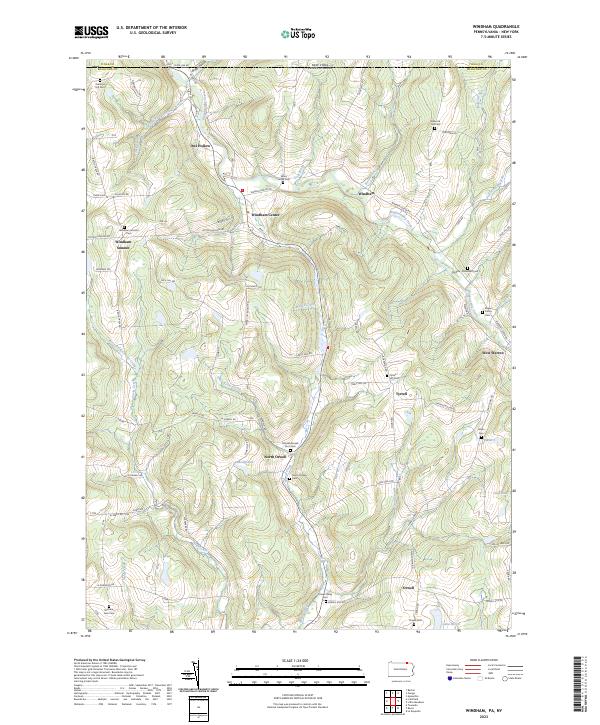
2023 Map of Windham
USGS Topo · Published 2023About this map
The northern reaches of Bradford County meet the New York state line in this landscape defined by high ridges and narrow creek valleys. Small agricultural settlements like Windham Center and North Orwell serve as the primary hubs, connected by a network of winding roads such as Warren Center Rd and Peck Hill Rd. The terrain is marked by significant elevation changes around Osborne Hill and the headwaters of several streams, including Wappasening Creek and Wysox Creek.
Find a feature on this map
85 named features on this map. Tap any name to fly to it.
Don’t see what you’re looking for? This feature index may not catch every label — zoom into the map to look around manually.
Map Details
Editions of this 2023 Windham Map
This is the sole edition of this map. No revisions or reprints were ever made.
Other maps of this area

1901 · Apalachin
USGS Topo · 1:62,500

1903 · Owego
USGS Topo · 1:62,500

1904 · Apalachin
USGS Topo · 1:62,500

1906 · Catatonk
USGS Topo · 1:125,000

1923 · Towanda
USGS Topo · 1:62,500

1926 · Towanda
USGS Topo · 1:62,500

1943 · Towanda
USGS Topo · 1:62,500

1943 · Le Raysville
USGS Topo · 1:62,500

1945 · Le Raysville
USGS Topo · 1:62,500

1950 · Elmira
USGS Topo · 1:250,000
Featured Places
- Owego, NY
- Orwell Township, PA
- Windham Township, PA
- Russellville, Orwell Township
- Windham Center, Windham Township