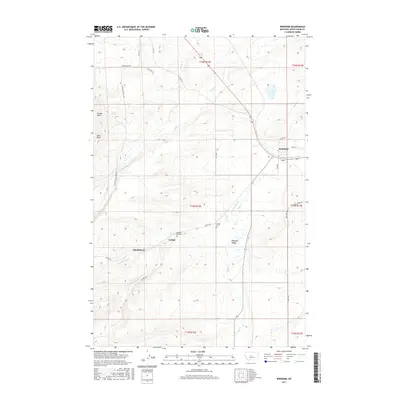
2017 Map of Windham
USGS Topo · Published 2017About this map
Windham and the neighboring settlements of Lehigh and Scholztown define the social landscape of this central Montana survey. This high-plains terrain is marked by the distinct draws of Willow Cr and Coyote Cr, which cut through the elevated country of Cayuse Basin and the prominent Skull Butte. The local road network, including the evocative Stagecoach Rd and Utica Hwy, reflects a long-standing orientation toward transport and transit between ranching and mining hubs. Genealogists and local historians will find the exact locations of the Lehigh Cem and Pleasant Valley Cem particularly valuable, as they sit near the small population centers and seasonal drainages like Spring Br and N Fork Sage Cr that historically supported this community.
Find a feature on this map
36 named features on this map. Tap any name to fly to it.
Don’t see what you’re looking for? This feature index may not catch every label — zoom into the map to look around manually.
Map Details
Editions of this 2017 Windham Map
This is the sole edition of this map. No revisions or reprints were ever made.
Other maps of this area

1886 · Little Belt Mts.
USGS Topo · 1:250,000

1890 · Fort Benton
USGS Topo · 1:250,000

1892 · Fort Benton
USGS Topo · 1:250,000

1894 · Little Belt Mts.
USGS Topo · 1:250,000

1897 · Fort Benton
USGS Topo · 1:250,000

1897 · Little Belt Mts.
USGS Topo · 1:250,000

1898 · Little Belt Mts.
USGS Topo · 1:250,000

1902 · Little Belt Mts.
USGS Topo · 1:250,000

1948 · White Sulphur Springs
USGS Topo · 1:250,000

1954 · Great Falls
USGS Topo · 1:250,000