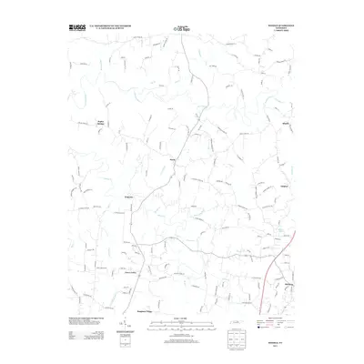
2013 Map of Windle
USGS Topo · Published 2013About this map
Roaring River carves through the landscape of northern Middle Tennessee, anchoring a network of rural communities that define this portion of Overton County. By the early 21st century, the area maintained its dispersed settlement pattern, with small hubs like Hardy, Waterloo, and Sulphur connected by winding valley roads. The presence of Terry Cemetery Rd and Eckle Cemetery Rd provides essential touchpoints for those researching the region's lineage, marking the long-standing family ties to this terrain. Toward the south and east, the landscape transitions toward larger settlements such as Rickman and Bangham Village. Significant water features like Mason Lake and the confluence of Spring Cr and Mill Cr highlight the vital role of local drainage systems in shaping both the physical geography and the historical development of these Tennessee uplands.
Find a feature on this map
154 named features on this map. Tap any name to fly to it.
Don’t see what you’re looking for? This feature index may not catch every label — zoom into the map to look around manually.
Map Details
Editions of this 2013 Windle Map
This is the sole edition of this map. No revisions or reprints were ever made.
Other maps of this area

1897 · Standingstone
USGS Topo · 1:125,000

1898 · Standingstone
USGS Topo · 1:125,000

1925 · Gainesboro
USGS Topo · 1:62,500

1929 · Gainesboro
USGS Topo · 1:62,500

1943 · Cookeville
USGS Topo · 1:100,000

1944 · Cookeville
USGS Topo · 1:100,000

1944 · Livingston
USGS Topo · 1:24,000

1951 · Windle
USGS Topo · 1:24,000

1953 · Cookeville East
USGS Topo · 1:24,000

1953 · Cookeville West
USGS Topo · 1:24,000