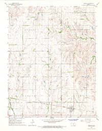
1965 Map of Windom
USGS Topo · Published 1966About this map
The Little Arkansas River winds through the central prairie of this mid-1960s survey, marking a landscape defined by both agricultural tradition and emerging industrial extraction. Along the southern edge, the Atchison Topeka and Santa Fe railroad corridor anchors the community of Windom, while the surrounding townships of Odessa, South Sharps Creek, Union, and Castle show the grid-like organization of rural Kansas.
Find a feature on this map
19 named features on this map. Tap any name to fly to it.
Don’t see what you’re looking for? This feature index may not catch every label — zoom into the map to look around manually.
Map Details
Editions of this 1965 Windom Map
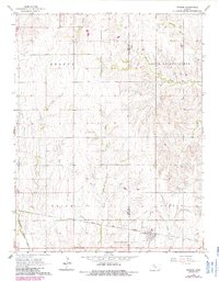
2 editions found
Other maps of this area

1891 · Hutchinson
USGS Topo · 1:125,000

1892 · Salina
USGS Topo · 1:125,000

1893 · Hutchinson
USGS Topo · 1:125,000

1894 · Ellsworth
USGS Topo · 1:125,000

1894 · Lyons
USGS Topo · 1:125,000

1942 · Salina
USGS Topo · 1:125,000

1955 · Great Bend
USGS Topo · 1:250,000

1955 · Hutchinson
USGS Topo · 1:250,000

1957 · Great Bend
USGS Topo · 1:250,000

1958 · Great Bend
USGS Topo · 1:250,000