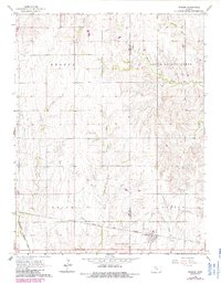
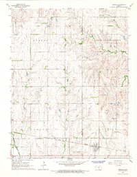
1965 Map of Windom
USGS Topo · Published 1985About this map
Windom serves as the primary hub in this Kansas landscape during the mid-1960s, situated along the Atchison Topeka and Santa Fe railroad corridor. The terrain is defined by the drainage systems of the Little Arkansas River and its various tributaries, including Wolf Creek, Salt Creek, and Sharps Creek. The map reveals a diversified mid-century economy where traditional agriculture intersects with the energy industry, as evidenced by the Odessa Oil Field and the Welch Bornholdt Oil Field.
Find a feature on this map
19 named features on this map. Tap any name to fly to it.
Don’t see what you’re looking for? This feature index may not catch every label — zoom into the map to look around manually.
Map Details
Editions of this 1965 Windom Map
2 editions found
Other maps of this area

1891 · Hutchinson
USGS Topo · 1:125,000

1892 · Salina
USGS Topo · 1:125,000

1893 · Hutchinson
USGS Topo · 1:125,000

1894 · Ellsworth
USGS Topo · 1:125,000

1894 · Lyons
USGS Topo · 1:125,000

1942 · Salina
USGS Topo · 1:125,000

1955 · Great Bend
USGS Topo · 1:250,000

1955 · Hutchinson
USGS Topo · 1:250,000

1957 · Great Bend
USGS Topo · 1:250,000

1958 · Great Bend
USGS Topo · 1:250,000