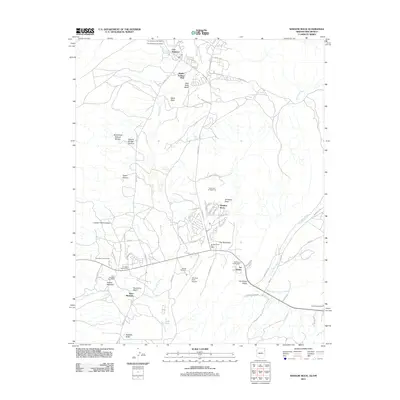
2011 Map of Window Rock
USGS Topo · Published 2011About this map
Fort Defiance and the capital of the Navajo Nation at Window Rock anchor this survey of the Arizona and New Mexico border region. The map documents a unique concentration of commercial and community hubs, including the Fort Defiance Trading Post, Karrigan Trading Post, and the Two Story Trading Post. These sites, alongside the Saint Michaels community, reflect the enduring intersection of traditional commerce and modern governance.
Find a feature on this map
64 named features on this map. Tap any name to fly to it.
Don’t see what you’re looking for? This feature index may not catch every label — zoom into the map to look around manually.
Map Details
Editions of this 2011 Window Rock Map
This is the sole edition of this map. No revisions or reprints were ever made.
Other maps of this area

1886 · Wingate
USGS Topo · 1:250,000

1886 · Fort Defiance
USGS Topo · 1:250,000

1892 · Fort Defiance
USGS Topo · 1:250,000

1892 · Wingate
USGS Topo · 1:250,000

1954 · Gallup
USGS Topo · 1:250,000

1955 · Zith-Tusayan Butte 4 NW
USGS Topo · 1:24,000

1955 · Zith-Tusayan Butte 4 NE
USGS Topo · 1:24,000

1955 · Zith-Tusayan Butte 1 SE
USGS Topo · 1:24,000
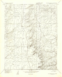
1955 · Zith-Tusayan Butte 1 SW
USGS Topo · 1:24,000

1955 · Tohatchi
USGS Topo · 1:62,500
Featured Places
- Fort Defiance, Fort Defiance Agency
- Fort Defiance Agency
- Window Rock, Fort Defiance Agency
- Eastern Navajo Agency, NM
- Bonita Trading Post, Fort Defiance Agency