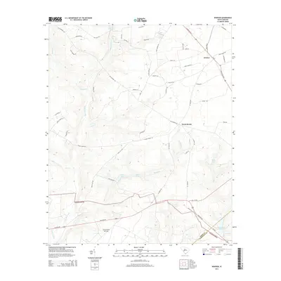
2014 Map of Windsor
USGS Topo · Published 2014About this map
Windsor and the community of Mount Beulah anchor this portion of the Aiken-Barnwell county line, where a network of watercourses feeds the broader Savanna River basin. The landscape is defined by the headwaters and tributaries of Upper Three Runs, including Jackson Br, Cedar Cr, and Boggy Gut. These drainage patterns shaped early industrial and agricultural efforts, evidenced by several water features including Tarrants Millpond and Stringfellow Mill Pond.
Find a feature on this map
53 named features on this map. Tap any name to fly to it.
Don’t see what you’re looking for? This feature index may not catch every label — zoom into the map to look around manually.
Map Details
Editions of this 2014 Windsor Map
This is the sole edition of this map. No revisions or reprints were ever made.
Other maps of this area

1920 · Aiken
USGS Topo · 1:48,000

1920 · Talatha
USGS Topo · 1:48,000

1921 · Aiken
USGS Topo · 1:62,500

1921 · Talatha
USGS Topo · 1:62,500

1923 · Williston
USGS Topo · 1:48,000

1927 · Williston
USGS Topo · 1:62,500

1943 · Aiken
USGS Topo · 1:62,500

1943 · Augusta East
USGS Topo · 1:125,000

1943 · Williston
USGS Topo · 1:62,500

1943 · Talatha
USGS Topo · 1:62,500