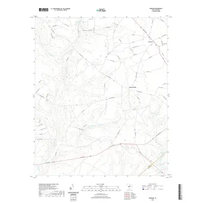
2020 Map of Windsor
USGS Topo · Published 2020About this map
Windsor serves as a central hub in this section of Aiken County, where the landscape is defined by an intricate network of wetlands and small water bodies. The terrain is characterized by numerous named drainages such as Upper Three Runs, Boggy Gut, and Beulah Fork, which feed into various ponds and reservoirs. Notable among these are Tarrants Millpond and Stringfellow Mill Pond, suggesting a legacy of local water-powered industry and land management in the region.
Find a feature on this map
64 named features on this map. Tap any name to fly to it.
Don’t see what you’re looking for? This feature index may not catch every label — zoom into the map to look around manually.
Map Details
Editions of this 2020 Windsor Map
This is the sole edition of this map. No revisions or reprints were ever made.
Other maps of this area

1920 · Aiken
USGS Topo · 1:48,000

1920 · Talatha
USGS Topo · 1:48,000

1921 · Aiken
USGS Topo · 1:62,500

1921 · Talatha
USGS Topo · 1:62,500

1923 · Williston
USGS Topo · 1:48,000

1927 · Williston
USGS Topo · 1:62,500

1943 · Aiken
USGS Topo · 1:62,500

1943 · Augusta East
USGS Topo · 1:125,000

1943 · Williston
USGS Topo · 1:62,500

1943 · Talatha
USGS Topo · 1:62,500