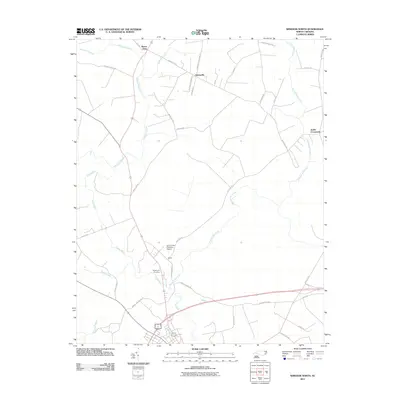
2011 Map of Windsor North
USGS Topo · Published 2011About this map
The Cashie River and its intricate network of drainage, including Whiteoak Swamp and Hoggard Mill Creek, define this Bertie County landscape. Small communities like Askewville and Buena Vista sit amidst a web of rural roads, many of which carry local family names such as Charles Taylor Rd and Jesse Hoggard Rd. This 2011 survey captures a quiet, agricultural pocket of North Carolina where early 21st-century infrastructure meets long-standing rural landmarks.
Find a feature on this map
36 named features on this map. Tap any name to fly to it.
Don’t see what you’re looking for? This feature index may not catch every label — zoom into the map to look around manually.
Map Details
Editions of this 2011 Windsor North Map
This is the sole edition of this map. No revisions or reprints were ever made.
Other maps of this area

1901 · Williamston
USGS Topo · 1:62,500

1902 · Williamston
USGS Topo · 1:62,500

1943 · Plymouth
USGS Topo · 1:125,000

1953 · Norfolk
USGS Topo · 1:250,000

1953 · Rocky Mount
USGS Topo · 1:250,000

1954 · Rocky Mount
USGS Topo · 1:250,000

1972 · Republican
USGS Topo · 1:24,000

1972 · Aulander
USGS Topo · 1:24,000

1978 · Windsor South
USGS Topo · 1:24,000
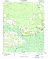
1979 · Woodard
USGS Topo · 1:24,000