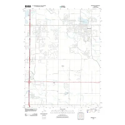
2010 Map of Windsor
USGS Topo · Published 2010About this map
Windsor and its surrounding agricultural landscape are defined by an intricate network of irrigation systems and water management infrastructure. The Cache la Poudre River and Big Thompson River anchor the drainage of the region, supported by extensive engineering projects like the Loveland and Greeley Canal, Greeley Number 2 Canal, and Farmers Ditch. These waterways serve numerous reservoirs and dams, including Fossil Creek Reservoir and the Koenig Reservoir. Smaller settlements and stops such as Kelim, Koenig, and Officer indicate the historical footprint of rural communities and rail-side development. The presence of the Jeffers School and various named roads like Centerra Pkwy and Ronald Reagan Blvd illustrates the modern transition of this Larimer County area from traditional farming to expanding suburban and commercial corridors.
Find a feature on this map
64 named features on this map. Tap any name to fly to it.
Don’t see what you’re looking for? This feature index may not catch every label — zoom into the map to look around manually.
Map Details
Editions of this 2010 Windsor Map
This is the sole edition of this map. No revisions or reprints were ever made.
Other maps of this area

1902 · Greeley
USGS Topo · 1:125,000

1906 · Loveland
USGS Topo · 1:62,500

1906 · Fort Collins
USGS Topo · 1:62,500

1907 · Livermore
USGS Topo · 1:125,000

1908 · Loveland
USGS Topo · 1:62,500

1908 · Fort Collins
USGS Topo · 1:62,500

1908 · Eaton
USGS Topo · 1:125,000

1909 · Livermore
USGS Topo · 1:125,000

1910 · Eaton
USGS Topo · 1:125,000

1950 · Windsor
USGS Topo · 1:24,000