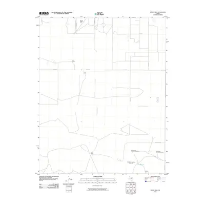
2010 Map of Windy Hill
USGS Topo · Published 2010About this map
Windy Hill rises above the high plains of the Texas Panhandle in this 2010 survey of Dallam County. The landscape is defined by its ranching infrastructure and the stark topography of the Red White and Blue Sand Hills. Named for the colorful character of the land, several windmills such as the Northwest Red White and Blue Windmill and Lake Windmill suggest the critical importance of water management in this arid cattle country.
Find a feature on this map
18 named features on this map. Tap any name to fly to it.
Don’t see what you’re looking for? This feature index may not catch every label — zoom into the map to look around manually.
Map Details
Editions of this 2010 Windy Hill Map
This is the sole edition of this map. No revisions or reprints were ever made.
Other maps of this area

1954 · Tucumcari
USGS Topo · 1:250,000

1954 · Dalhart
USGS Topo · 1:250,000

1958 · Tucumcari
USGS Topo · 1:250,000

1958 · Dalhart
USGS Topo · 1:250,000

1962 · Dalhart
USGS Topo · 1:250,000

1970 · Sedan SE
USGS Topo · 1:24,000

1970 · Sedan NE
USGS Topo · 1:24,000

1971 · Koger Ranch
USGS Topo · 1:24,000

1971 · Syndicate Hills
USGS Topo · 1:24,000

1971 · Beck Ranch
USGS Topo · 1:24,000