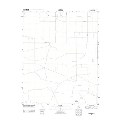
2012 Map of Windy Hill
USGS Topo · Published 2012About this map
Windy Hill anchors the northern landscape of this Panhandle survey, where the vast, geometric grid of Texas ranch roads defines the local geography. The area's agricultural and ranching character is evident in the naming of thoroughfares such as Dittle Ranch Rd and Martin Ranch Rd, which connect isolated homesteads across the arid plains. To the south, the distinctive Red White and Blue Sand Hills provide a sharp contrast to the surrounding flatlands, leading toward the depression of Lake Windmill. The network of local routes like S Sedan Rd and Bunker Hill Rd reflects the enduring system of land division and transit in Dallam County, where water features and relief remain the primary landmarks in an otherwise highly organized pastoral environment.
Find a feature on this map
12 named features on this map. Tap any name to fly to it.
Don’t see what you’re looking for? This feature index may not catch every label — zoom into the map to look around manually.
Map Details
Editions of this 2012 Windy Hill Map
This is the sole edition of this map. No revisions or reprints were ever made.
Other maps of this area

1954 · Tucumcari
USGS Topo · 1:250,000

1954 · Dalhart
USGS Topo · 1:250,000

1958 · Tucumcari
USGS Topo · 1:250,000

1958 · Dalhart
USGS Topo · 1:250,000

1962 · Dalhart
USGS Topo · 1:250,000

1970 · Sedan SE
USGS Topo · 1:24,000

1970 · Sedan NE
USGS Topo · 1:24,000

1971 · Koger Ranch
USGS Topo · 1:24,000

1971 · Syndicate Hills
USGS Topo · 1:24,000

1971 · Beck Ranch
USGS Topo · 1:24,000