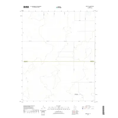
2019 Map of Windy Hill
USGS Topo · Published 2019About this map
Red White and Blue Sand Hills define the southern landscape of this High Plains quadrangle, where the boundary between Dallam and Hartley counties bisects an area of transition between open rangeland and sparse water sources. The map captures a high-desert environment where livestock management is the primary human footprint, evidenced by the presence of Lake Windmill. A network of unpaved ranch roads and lanes, including Yoder Rd, Lewis Rd, and Nichols Rd, provides access to these remote reaches of the Texas Panhandle. Modern connectivity is represented by Ranch Rd 1727, while localized tracks like Dittle Ranch Rd and S Sedan Ln trace the boundaries of private holdings in this sparsely populated corner of the state.
Find a feature on this map
13 named features on this map. Tap any name to fly to it.
Don’t see what you’re looking for? This feature index may not catch every label — zoom into the map to look around manually.
Map Details
Editions of this 2019 Windy Hill Map
This is the sole edition of this map. No revisions or reprints were ever made.
Other maps of this area

1954 · Tucumcari
USGS Topo · 1:250,000

1954 · Dalhart
USGS Topo · 1:250,000

1958 · Tucumcari
USGS Topo · 1:250,000

1958 · Dalhart
USGS Topo · 1:250,000

1962 · Dalhart
USGS Topo · 1:250,000

1970 · Sedan SE
USGS Topo · 1:24,000

1970 · Sedan NE
USGS Topo · 1:24,000

1971 · Koger Ranch
USGS Topo · 1:24,000

1971 · Syndicate Hills
USGS Topo · 1:24,000

1971 · Beck Ranch
USGS Topo · 1:24,000