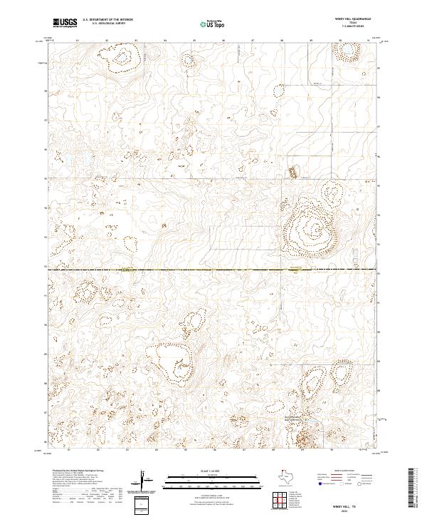
2022 Map of Windy Hill
USGS Topo · Published 2022About this map
The Red White and Blue Sand Hills dominate the southern landscape of this Texas Panhandle region, providing a rare geological break in the high plains. Spanning the boundary between Dallam Co and Hartley Co, the terrain is defined by its agricultural and ranching infrastructure. A sparse network of family-named roads and ranch tracks, such as Dittle Ranch Rd and Bunker Hill Rd, crisscross the area, anchoring the rural economy. In the southeast, Lake Windmill serves as a critical water feature for the surrounding ranchlands. The map illustrates a contemporary layout of large-scale landholdings where traditional ranching life continues alongside modern thoroughfares like Ranch Rd 1727.
Find a feature on this map
13 named features on this map. Tap any name to fly to it.
Don’t see what you’re looking for? This feature index may not catch every label — zoom into the map to look around manually.
Map Details
Editions of this 2022 Windy Hill Map
This is the sole edition of this map. No revisions or reprints were ever made.
Other maps of this area

1954 · Tucumcari
USGS Topo · 1:250,000

1954 · Dalhart
USGS Topo · 1:250,000

1958 · Tucumcari
USGS Topo · 1:250,000

1958 · Dalhart
USGS Topo · 1:250,000

1962 · Dalhart
USGS Topo · 1:250,000

1970 · Sedan SE
USGS Topo · 1:24,000

1970 · Sedan NE
USGS Topo · 1:24,000

1971 · Koger Ranch
USGS Topo · 1:24,000

1971 · Syndicate Hills
USGS Topo · 1:24,000

1971 · Beck Ranch
USGS Topo · 1:24,000