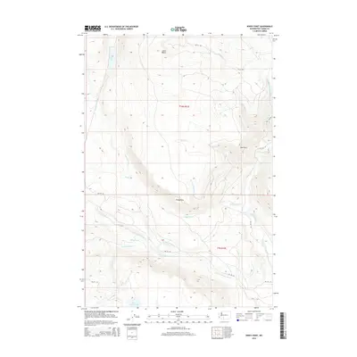
2014 Map of Windy Point
USGS Topo · Published 2014About this map
Windy Point commands a landscape defined by its complex drainage network and high-elevation terrain within Yakima County. The southern portion of the map is dominated by the confluence of mountain waters, where the W Fork Klickitat River meets the Klickitat River. The hydrography is dense, including smaller tributaries like Trappers Cr and Little Muddy Cr flowing through the southern reaches. In the north, Fish Lake and its corresponding Fish Lake Stream provide a focal point near Johns Butte. This modern survey illustrates the current road network of the Bureau of Indian Affairs, showing routes like Bia 108 RD and Bia 255 RD that traverse the ridges and valleys between Esel Point and the basin of Mount Adams Lake. The map reveals a wild, unpopulated territory where the natural contours of the land dictate the path of every stream and road.
Find a feature on this map
28 named features on this map. Tap any name to fly to it.
Don’t see what you’re looking for? This feature index may not catch every label — zoom into the map to look around manually.
Map Details
Editions of this 2014 Windy Point Map
This is the sole edition of this map. No revisions or reprints were ever made.
Other maps of this area

1904 · Mount Adams
USGS Topo · 1:125,000

1907 · Mount Adams
USGS Topo · 1:125,000

1950 · Yakima
USGS Topo · 1:250,000

1958 · Yakima
USGS Topo · 1:250,000

1961 · Yakima
USGS Topo · 1:250,000
1969 · Castile Falls
USGS Topo · 1:24,000
1970 · Fairview Ridge
USGS Topo · 1:24,000
1970 · Signal Peak
USGS Topo · 1:24,000
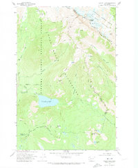
1970 · Walupt Lake
USGS Topo · 1:24,000
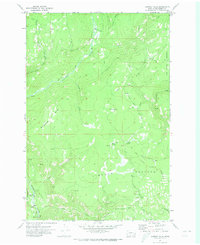
1970 · Castile Falls
USGS Topo · 1:24,000