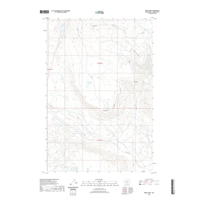
2020 Map of Windy Point
USGS Topo · Published 2020About this map
Windy Point and Johns Butte define the high elevations of this Yakima County landscape, which is marked by a complex network of drainages feeding the Klickitat River system. The terrain transitions from the upland waters of Fish Lake in the northwest to the riparian corridors of the W Fork Klickitat River and Chaparral Cr in the south. This area, managed under Bureau of Indian Affairs jurisdiction, includes essential local landmarks such as Holdaway Meadow and the secluded Mount Adams Lake. A series of mountain roads, including Bia RD 267 and Mc Creedy Canyon Creek Rd, provide access through the dense topography. The map illustrates a watershed defined by numerous named tributaries like Pearl Cr, Trappers Cr, and Icksix Cr, which carve through the ridges near Esel Point.
Find a feature on this map
31 named features on this map. Tap any name to fly to it.
Don’t see what you’re looking for? This feature index may not catch every label — zoom into the map to look around manually.
Map Details
Editions of this 2020 Windy Point Map
This is the sole edition of this map. No revisions or reprints were ever made.
Other maps of this area

1904 · Mount Adams
USGS Topo · 1:125,000

1907 · Mount Adams
USGS Topo · 1:125,000

1950 · Yakima
USGS Topo · 1:250,000

1958 · Yakima
USGS Topo · 1:250,000

1961 · Yakima
USGS Topo · 1:250,000
1969 · Castile Falls
USGS Topo · 1:24,000
1970 · Fairview Ridge
USGS Topo · 1:24,000
1970 · Signal Peak
USGS Topo · 1:24,000
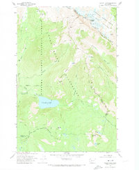
1970 · Walupt Lake
USGS Topo · 1:24,000
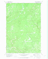
1970 · Castile Falls
USGS Topo · 1:24,000