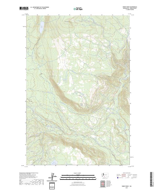
2023 Map of Windy Point
USGS Topo · Published 2023About this map
Mount Adams Lake and Fish Lake anchor this high-elevation landscape in Yakima County, where numerous drainages carve through the terrain toward the Klickitat River. The area is defined by its complex hydrology, with systems like Fish Lake Stream, Trappers Creek, and Clearwater Creek feeding into the larger river network. Elevated landmarks such as Johns Butte and Esel Point rise above the drainage basins, while Holdaway Meadow suggests a localized break in the timbered slopes.
Find a feature on this map
30 named features on this map. Tap any name to fly to it.
Don’t see what you’re looking for? This feature index may not catch every label — zoom into the map to look around manually.
Map Details
Editions of this 2023 Windy Point Map
This is the sole edition of this map. No revisions or reprints were ever made.
Other maps of this area

1904 · Mount Adams
USGS Topo · 1:125,000

1907 · Mount Adams
USGS Topo · 1:125,000

1950 · Yakima
USGS Topo · 1:250,000

1958 · Yakima
USGS Topo · 1:250,000

1961 · Yakima
USGS Topo · 1:250,000
1969 · Castile Falls
USGS Topo · 1:24,000
1970 · Fairview Ridge
USGS Topo · 1:24,000
1970 · Signal Peak
USGS Topo · 1:24,000
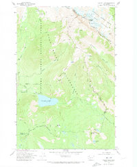
1970 · Walupt Lake
USGS Topo · 1:24,000
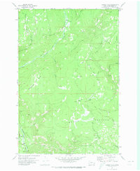
1970 · Castile Falls
USGS Topo · 1:24,000