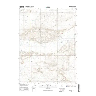
2017 Map of Windy Ridge
USGS Topo · Published 2017About this map
Independence sits at the northern edge of a landscape defined by its intricate irrigation network and the winding course of the Duchesne River. This 2017 survey details a region where water management is central to the land's utility, evidenced by the numerous man-made waterways like the Myton Townsite Canal, Riverdell Canal, and the Ouray School Canal that crisscross the Uinta Valley. The terrain rises from the river bottom to prominent landforms such as Windy Ridge and Leland Bench, which provide significant vertical relief against the valley floor.
Find a feature on this map
23 named features on this map. Tap any name to fly to it.
Don’t see what you’re looking for? This feature index may not catch every label — zoom into the map to look around manually.
Map Details
Editions of this 2017 Windy Ridge Map
This is the sole edition of this map. No revisions or reprints were ever made.
Other maps of this area

1885 · Ashley
USGS Topo · 1:250,000

1885 · Uinta
USGS Topo · 1:250,000

1917 · Vernal
USGS Topo · 1:125,000

1939 · Duchesne
USGS Topo · 1:125,000

1954 · Salt Lake City
USGS Topo · 1:250,000

1954 · Vernal
USGS Topo · 1:250,000

1958 · Vernal
USGS Topo · 1:250,000

1958 · Salt Lake City
USGS Topo · 1:250,000

1960 · Salt Lake City
USGS Topo · 1:250,000

1960 · Vernal
USGS Topo · 1:250,000