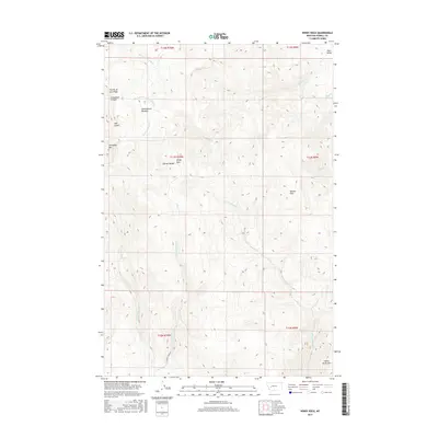
2017 Map of Windy Rock
USGS Topo · Published 2017About this map
Garnet Range dominates this landscape, where the high peaks of Old Baldy Mtn and White Rocks Mtn define a complex drainage system. The terrain transitions from the open Avon Valley in the northeast into a network of drainages including Gallagher Cr and Warm Springs Cr. Historically significant naming conventions are evident in features like Fourth of July Ridge and Cottonwood Meadow, suggesting early seasonal use and navigation markers for ranching or prospecting. The southern portion of the map is accessed via E Brock Creek Rd, tracing the path of Brock Cr through the high country. This modern survey provides a precise look at the elevation and hydrography of the Windy Rock area, documenting the persistence of traditional place names in this remote section of Powell County.
Find a feature on this map
25 named features on this map. Tap any name to fly to it.
Don’t see what you’re looking for? This feature index may not catch every label — zoom into the map to look around manually.
Map Details
Editions of this 2017 Windy Rock Map
This is the sole edition of this map. No revisions or reprints were ever made.
Other maps of this area

1889 · Helena
USGS Topo · 1:250,000

1893 · Helena
USGS Topo · 1:250,000

1899 · Helena
USGS Topo · 1:250,000

1903 · Helena
USGS Topo · 1:250,000

1947 · Butte
USGS Topo · 1:250,000

1958 · Butte
USGS Topo · 1:250,000

1958 · Avon
USGS Topo · 1:62,500

1958 · Garrison
USGS Topo · 1:62,500

1960 · Butte
USGS Topo · 1:250,000

1962 · Butte
USGS Topo · 1:250,000