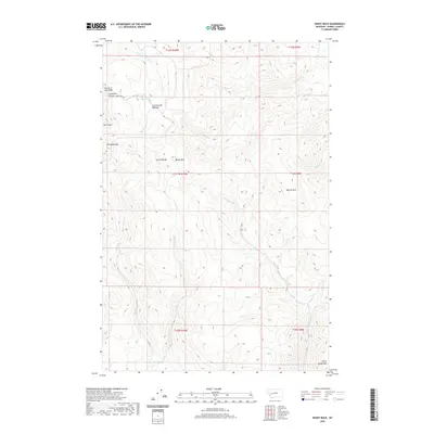
2020 Map of Windy Rock
USGS Topo · Published 2020About this map
The Garnet Range dominates this landscape in Powell County, characterized by a complex network of high-elevation peaks and drainage systems. Steep ridgelines like Fourth of July Ridge and prominent summits including Old Baldy Mtn and White Rocks Mtn define the local topography. This terrain is marked by significant drainages such as Wet Cottonwood Cr and Warm Springs Cr, which carve through deep canyons and gulches.
Find a feature on this map
24 named features on this map. Tap any name to fly to it.
Don’t see what you’re looking for? This feature index may not catch every label — zoom into the map to look around manually.
Map Details
Editions of this 2020 Windy Rock Map
This is the sole edition of this map. No revisions or reprints were ever made.
Other maps of this area

1889 · Helena
USGS Topo · 1:250,000

1893 · Helena
USGS Topo · 1:250,000

1899 · Helena
USGS Topo · 1:250,000

1903 · Helena
USGS Topo · 1:250,000

1947 · Butte
USGS Topo · 1:250,000

1958 · Butte
USGS Topo · 1:250,000

1958 · Avon
USGS Topo · 1:62,500

1958 · Garrison
USGS Topo · 1:62,500

1960 · Butte
USGS Topo · 1:250,000

1962 · Butte
USGS Topo · 1:250,000