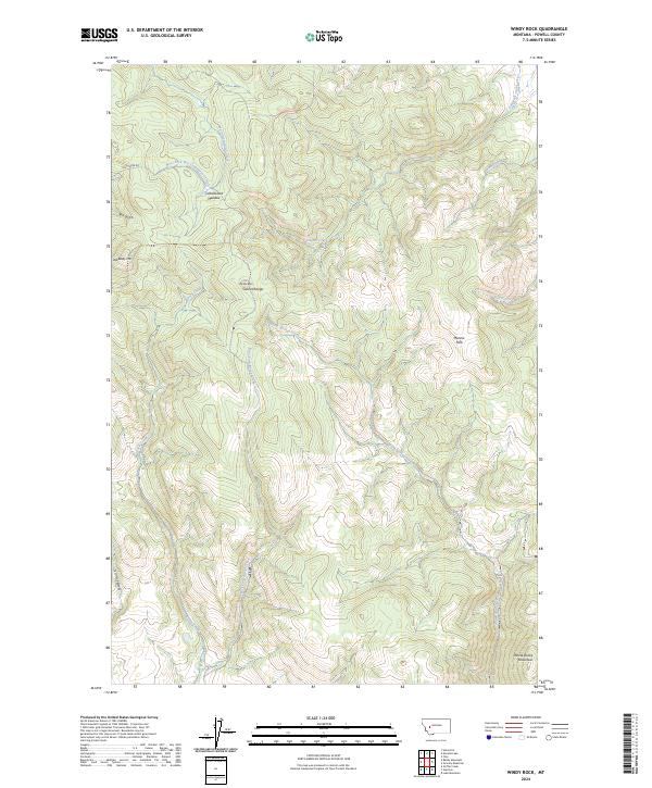
2024 Map of Windy Rock
USGS Topo · Published 2024About this map
The Garnet Range dominates this portion of Powell County, where high-elevation summits like Windy Rock and Old Baldy Mtn define a landscape of steep drainages and isolated meadows. Settlement is virtually non-existent in this part of the range, represented primarily by the clearing at Mannix Park and the high-altitude Cottonwood Meadow. The drainage pattern is complex, with headwaters like Wet Cottonwood Creek and Warm Springs Creek carving deep into the terrain. Historical land use is indicated by naming conventions such as Salt Gulch and Tewfel Gulch, while the presence of Lost Creek Rd provides the primary access route through these mountains. To the southeast, the terrain rises toward White Rocks Mountain, marking the transition between the various creek basins that feed the regional watershed.
Find a feature on this map
23 named features on this map. Tap any name to fly to it.
Don’t see what you’re looking for? This feature index may not catch every label — zoom into the map to look around manually.
Map Details
Editions of this 2024 Windy Rock Map
This is the sole edition of this map. No revisions or reprints were ever made.
Other maps of this area

1889 · Helena
USGS Topo · 1:250,000

1893 · Helena
USGS Topo · 1:250,000

1899 · Helena
USGS Topo · 1:250,000

1903 · Helena
USGS Topo · 1:250,000

1947 · Butte
USGS Topo · 1:250,000

1958 · Butte
USGS Topo · 1:250,000

1958 · Avon
USGS Topo · 1:62,500

1958 · Garrison
USGS Topo · 1:62,500

1960 · Butte
USGS Topo · 1:250,000

1962 · Butte
USGS Topo · 1:250,000