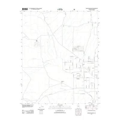
2012 Map of Wineglass Ranch
USGS Topo · Published 2012About this map
Williamson Valley and the surrounding high desert of Yavapai County are defined by a network of seasonal watercourses and private ranching interests. This landscape is shaped by the intermittent flows of Big Chino Wash and Williamson Valley Wash, with scattered water features such as Wineglass Tank and Spring Canyon Tank supporting the region's cattle operations. The named Wineglass Ranch serves as a primary local landmark, alongside smaller holdings like Eddy Place. A grid of residential streets with geologically-inspired names, including W Onyx Rd and W Feldspar Dr, marks more recent rural development. The area's reliance on private air travel is evident through the presence of Pilots Rest Airport and Big Springs Ranch Airport, which provide vital connections across this sprawling Arizona terrain.
Find a feature on this map
65 named features on this map. Tap any name to fly to it.
Don’t see what you’re looking for? This feature index may not catch every label — zoom into the map to look around manually.
Map Details
Editions of this 2012 Wineglass Ranch Map
This is the sole edition of this map. No revisions or reprints were ever made.
Other maps of this area

1886 · Chino
USGS Topo · 1:250,000

1887 · Prescott
USGS Topo · 1:250,000

1891 · Chino
USGS Topo · 1:250,000

1892 · Prescott
USGS Topo · 1:250,000

1905 · Jerome
USGS Topo · 1:125,000

1922 · Williams
USGS Topo · 1:125,000

1947 · Ash Fork
USGS Topo · 1:62,500

1947 · Simmons
USGS Topo · 1:62,500

1947 · Picacho Butte
USGS Topo · 1:62,500

1947 · Paulden
USGS Topo · 1:62,500