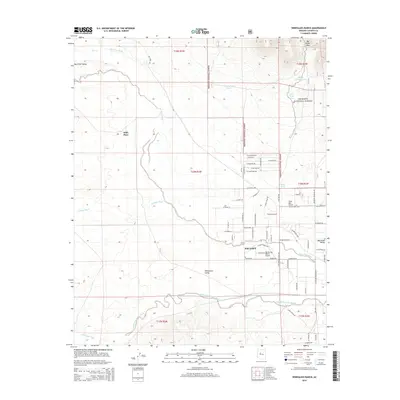
2014 Map of Wineglass Ranch
USGS Topo · Published 2014About this map
Paulden serves as the primary focal point of this rural Yavapai County landscape, situated at the confluence of several significant desert watercourses. The drainage patterns of Big Chino Wash, Antelope Wash, and Williamson Valley Wash converge here, shaping the development of the Williamson Valley. These seasonal washes define the ranching and aviation character of the region, which is marked by numerous private landing strips and established agricultural holdings.
Find a feature on this map
68 named features on this map. Tap any name to fly to it.
Don’t see what you’re looking for? This feature index may not catch every label — zoom into the map to look around manually.
Map Details
Editions of this 2014 Wineglass Ranch Map
This is the sole edition of this map. No revisions or reprints were ever made.
Other maps of this area

1886 · Chino
USGS Topo · 1:250,000

1887 · Prescott
USGS Topo · 1:250,000

1891 · Chino
USGS Topo · 1:250,000

1892 · Prescott
USGS Topo · 1:250,000

1905 · Jerome
USGS Topo · 1:125,000

1922 · Williams
USGS Topo · 1:125,000

1947 · Ash Fork
USGS Topo · 1:62,500

1947 · Simmons
USGS Topo · 1:62,500

1947 · Picacho Butte
USGS Topo · 1:62,500

1947 · Paulden
USGS Topo · 1:62,500