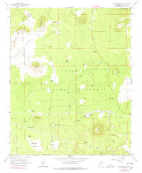
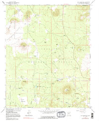
1966 Map of Wing Mountain
USGS Topo · Published 1991About this map
Wing Mountain and the surrounding volcanic field dominate this 1966 topographic survey of the high desert terrain north of Interstate 40. The landscape is defined by its cinder cones and unique geological features, notably the Lava River Cave and the prominent Hochderffer Hills. This area serves as a critical watershed for local livestock and wildlife, evidenced by the dense network of man-made catchments like Grand Canyon Tank, Wild Bill Tank, and Hidden Hollow Tank.
Find a feature on this map
46 named features on this map. Tap any name to fly to it.
Don’t see what you’re looking for? This feature index may not catch every label — zoom into the map to look around manually.
Map Details
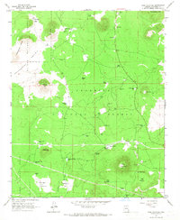
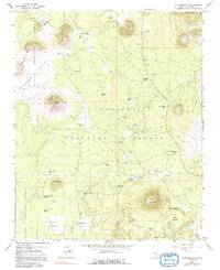
Editions of this 1966 Wing Mountain Map
5 editions found
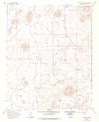
Other maps of this area

1886 · San Francisco Mtns
USGS Topo · 1:250,000

1891 · San Francisco Mtns
USGS Topo · 1:250,000

1894 · San Francisco Mtns
USGS Topo · 1:250,000

1899 · San Francisco Mtns
USGS Topo · 1:250,000

1908 · Flagstaff
USGS Topo · 1:125,000

1912 · Flagstaff
USGS Topo · 1:125,000

1947 · Flagstaff
USGS Topo · 1:250,000

1954 · Flagstaff
USGS Topo · 1:250,000

1958 · Flagstaff
USGS Topo · 1:250,000

1960 · Flagstaff
USGS Topo · 1:250,000