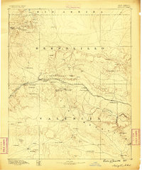
1886 Map of Wingate
USGS Topo · Published 1886About this map
The Atlantic and Pacific Railroad cuts a definitive line across this high-desert territory, serving as the primary corridor for commerce and movement through the late nineteenth-century Southwest. In the mid-1880s, the tracks connect fledgling settlements like Gallup and Manuelito to larger regional outposts. The map reveals a landscape defined by its vital water sources, from Coal Mineral Springs to the numerous wells and pools that supported both cattle ranching at Crane's Ranch and military operations at Fort Wingate.
Find a feature on this map
60 named features on this map. Tap any name to fly to it.
Don’t see what you’re looking for? This feature index may not catch every label — zoom into the map to look around manually.
Map Details
Editions of this 1886 Wingate Map
This is the sole edition of this map. No revisions or reprints were ever made.
Other maps of this area
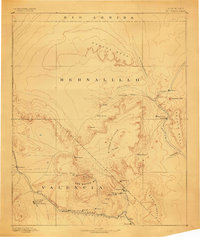
1883 · Mt. Taylor
USGS Topo · 1:250,000

1886 · St Johns
USGS Topo · 1:250,000
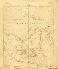
1886 · Mt. Taylor
USGS Topo · 1:250,000
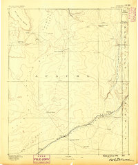
1886 · Fort Defiance
USGS Topo · 1:250,000
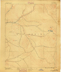
1889 · Largo
USGS Topo · 1:250,000
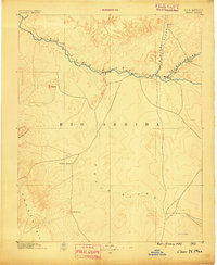
1889 · Chaco
USGS Topo · 1:250,000
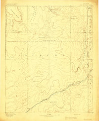
1892 · Fort Defiance
USGS Topo · 1:250,000
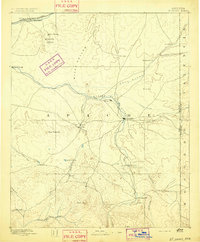
1892 · St Johns
USGS Topo · 1:250,000
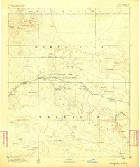
1892 · Wingate
USGS Topo · 1:250,000
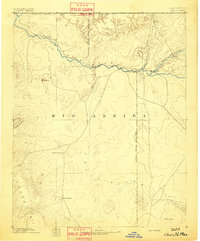
1892 · Chaco
USGS Topo · 1:250,000
Featured Places
- Gallup, NM
- Fort Defiance Agency
- Eastern Navajo Agency, NM
- Crownpoint, Eastern Navajo Agency
- Tohatchi, Fort Defiance Agency