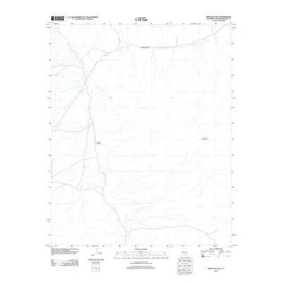
2012 Map of Wingate Pass
USGS Topo · Published 2012About this map
Wingate Pass serves as a critical geographic notch in this arid landscape, connecting the expansive Panamint Valley to the lower-lying drainage of Wingate Wash. This 2012 survey illustrates a sparse, high-desert environment defined by extreme relief and intermittent watercourses. The presence of Brown Mountain to the east provides a dominant landmark for a region characterized by its lack of established settlements or permanent infrastructure. The network of unimproved roads and 4WD tracks suggests a territory primarily utilized for access to the backcountry or military operations, as indicated by its proximity to expansive government landholdings in San Bernardino County.
Find a feature on this map
4 named features on this map. Tap any name to fly to it.
Don’t see what you’re looking for? This feature index may not catch every label — zoom into the map to look around manually.
Map Details
Editions of this 2012 Wingate Pass Map
This is the sole edition of this map. No revisions or reprints were ever made.
Other maps of this area

1915 · Searles Lake
USGS Topo · 1:250,000

1933 · Avawatz Mountains
USGS Topo · 1:250,000

1947 · Trona
USGS Topo · 1:250,000

1948 · Trona
USGS Topo · 1:250,000

1948 · Quail Mountains
USGS Topo · 1:62,500

1950 · Manly Peak
USGS Topo · 1:62,500

1950 · Wingate Wash
USGS Topo · 1:62,500

1950 · Wingate Pass
USGS Topo · 1:62,500

1951 · Wingate Pass
USGS Topo · 1:62,500

1951 · Quail Mountains
USGS Topo · 1:62,500