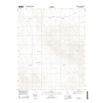
2015 Map of Wingate Pass
USGS Topo · Published 2015About this map
Wingate Pass serves as a critical topographic corridor between high desert basins, marking the transition from Long Valley into the northern reaches of the Mojave Desert. This 2015 U.S. Geological Survey representation details the steep, arid drainage patterns of Wingate Wash as it flows eastward out of the mountain gaps. The terrain is defined by extreme elevation changes, rising toward the heights of Brown Mtn and dropping into the expansive Panamint Valley to the west. Roads like Wingate Pass Rd and A Rd provide the only documented passage through this desolate landscape, following natural contours where the desert floor meets the rugged mountain slopes. The map also includes the Public Land Survey System township and range boundaries, illustrating how this remote area is gridded despite its lack of permanent settlements.
Find a feature on this map
12 named features on this map. Tap any name to fly to it.
Don’t see what you’re looking for? This feature index may not catch every label — zoom into the map to look around manually.
Map Details
Editions of this 2015 Wingate Pass Map
This is the sole edition of this map. No revisions or reprints were ever made.
Other maps of this area

1915 · Searles Lake
USGS Topo · 1:250,000

1933 · Avawatz Mountains
USGS Topo · 1:250,000

1947 · Trona
USGS Topo · 1:250,000

1948 · Trona
USGS Topo · 1:250,000

1948 · Quail Mountains
USGS Topo · 1:62,500

1950 · Manly Peak
USGS Topo · 1:62,500

1950 · Wingate Wash
USGS Topo · 1:62,500

1950 · Wingate Pass
USGS Topo · 1:62,500

1951 · Wingate Pass
USGS Topo · 1:62,500

1951 · Quail Mountains
USGS Topo · 1:62,500