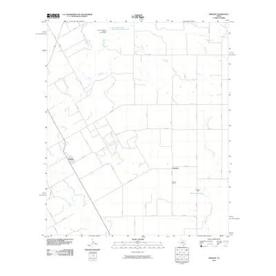
2010 Map of Wingate
USGS Topo · Published 2010About this map
Wingate and Pumphrey anchor this portion of Runnels County, illustrating a landscape defined by ranching and agricultural water management. The area is crisscrossed by a network of farm-to-market roads and county routes, connecting scattered homesteads to local centers. Water control is a primary feature of the terrain, evidenced by the Soil Conservation Service Site 16 Reservoir and the Mitchell Dam on Mitchell Lake. These man-made features supplement the natural drainage provided by Valley Creek and Big Coyote Creek. For those researching local heritage, the Pumphrey Cemetery stands as a focal point for genealogical study. The map depicts a late 20th-century transition where traditional land use meets modern conservation efforts, preserving the rural character of this West Texas region.
Find a feature on this map
39 named features on this map. Tap any name to fly to it.
Don’t see what you’re looking for? This feature index may not catch every label — zoom into the map to look around manually.
Map Details
Editions of this 2010 Wingate Map
This is the sole edition of this map. No revisions or reprints were ever made.
Other maps of this area

1890 · Abilene
USGS Topo · 1:125,000

1891 · Hayrick
USGS Topo · 1:125,000

1892 · Abilene
USGS Topo · 1:125,000

1892 · Ballinger
USGS Topo · 1:125,000

1893 · Sweetwater
USGS Topo · 1:125,000

1894 · Hayrick
USGS Topo · 1:125,000

1954 · Brownwood
USGS Topo · 1:250,000

1954 · Big Spring
USGS Topo · 1:250,000

1954 · Abilene
USGS Topo · 1:250,000

1954 · San Angelo
USGS Topo · 1:250,000