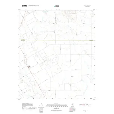
2019 Map of Wingate
USGS Topo · Published 2019About this map
Wingate serves as the primary hub for this portion of the Texas Rolling Plains, situated near the southwestern edge of the quadrangle. The landscape is defined by its drainage systems, most notably Valley Cr and Big Coyote Cr, which flow through a network of rural county roads. This 2019 survey documents the intersection of agriculture and water management, featuring the Soil Conservation Service Site 16 Reservoir in the north and Mitchell Lake to the southeast. For genealogists and local historians, the Pumphrey Cem stands as a significant landmark along FM 1677. The map also captures the clear administrative boundary between Taylor Co and Runnels Co, illustrating how these historical county lines divide the ranching and farming lands of West Central Texas.
Find a feature on this map
44 named features on this map. Tap any name to fly to it.
Don’t see what you’re looking for? This feature index may not catch every label — zoom into the map to look around manually.
Map Details
Editions of this 2019 Wingate Map
This is the sole edition of this map. No revisions or reprints were ever made.
Other maps of this area

1890 · Abilene
USGS Topo · 1:125,000

1891 · Hayrick
USGS Topo · 1:125,000

1892 · Abilene
USGS Topo · 1:125,000

1892 · Ballinger
USGS Topo · 1:125,000

1893 · Sweetwater
USGS Topo · 1:125,000

1894 · Hayrick
USGS Topo · 1:125,000

1954 · Brownwood
USGS Topo · 1:250,000

1954 · Big Spring
USGS Topo · 1:250,000

1954 · Abilene
USGS Topo · 1:250,000

1954 · San Angelo
USGS Topo · 1:250,000