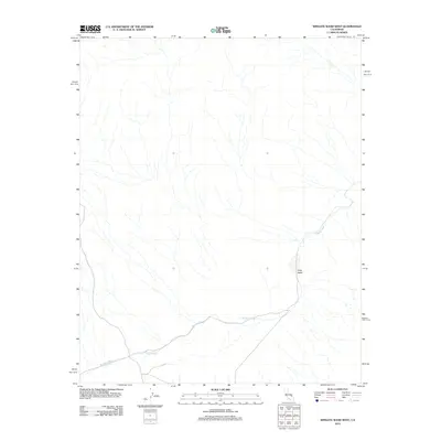
2012 Map of Wingate Wash West
USGS Topo · Published 2012About this map
Wingate Wash defines the drainage patterns of this arid landscape in San Bernardino County, where seasonal watercourses snake across the desert floor toward the east. This 2012 survey by the U.S. Geological Survey documents the topographical character of the region, including the distinct depression of Long Valley located in the southeastern quadrant. The map illustrates a network of 4WD tracks and local roads that navigate the vast, unpopulated terrain, reflecting the limited infrastructure and preservation of the natural desert environment. Researchers can observe how the intermittent flow of Wingate Wash serves as the primary hydrological feature, shaping the land as it winds through the alluvial plains of the California desert.
Find a feature on this map
2 named features on this map. Tap any name to fly to it.
Don’t see what you’re looking for? This feature index may not catch every label — zoom into the map to look around manually.
Map Details
Editions of this 2012 Wingate Wash West Map
This is the sole edition of this map. No revisions or reprints were ever made.
Other maps of this area

1915 · Searles Lake
USGS Topo · 1:250,000

1933 · Avawatz Mountains
USGS Topo · 1:250,000

1947 · Trona
USGS Topo · 1:250,000

1948 · Trona
USGS Topo · 1:250,000

1948 · Quail Mountains
USGS Topo · 1:62,500

1950 · Manly Peak
USGS Topo · 1:62,500

1950 · Wingate Wash
USGS Topo · 1:62,500

1950 · Wingate Pass
USGS Topo · 1:62,500

1951 · Wingate Pass
USGS Topo · 1:62,500

1951 · Quail Mountains
USGS Topo · 1:62,500