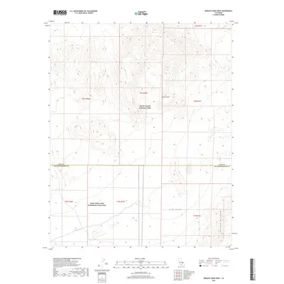
2018 Map of Wingate Wash West
USGS Topo · Published 2018About this map
Death Valley National Park and the restricted grounds of the NAWS China Lake Randsburg Wash Area meet in this 2018 survey of the southern Panamint Range region. The landscape is defined by the significant drainage of Wingate Wash, which cuts a broad path through the arid terrain of the Mojave Desert. This intersection of protected parkland and naval aviation testing grounds illustrates the dual 21st-century roles of the California desert as both a wilderness preserve and a strategic military asset.
Find a feature on this map
7 named features on this map. Tap any name to fly to it.
Don’t see what you’re looking for? This feature index may not catch every label — zoom into the map to look around manually.
Map Details
Editions of this 2018 Wingate Wash West Map
This is the sole edition of this map. No revisions or reprints were ever made.
Other maps of this area

1915 · Searles Lake
USGS Topo · 1:250,000

1933 · Avawatz Mountains
USGS Topo · 1:250,000

1947 · Trona
USGS Topo · 1:250,000

1948 · Trona
USGS Topo · 1:250,000

1948 · Quail Mountains
USGS Topo · 1:62,500

1950 · Manly Peak
USGS Topo · 1:62,500

1950 · Wingate Wash
USGS Topo · 1:62,500

1950 · Wingate Pass
USGS Topo · 1:62,500

1951 · Wingate Pass
USGS Topo · 1:62,500

1951 · Quail Mountains
USGS Topo · 1:62,500