2021 Map of Winigan
USGS Topo · Published 2021About this map
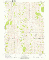
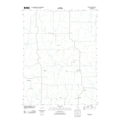
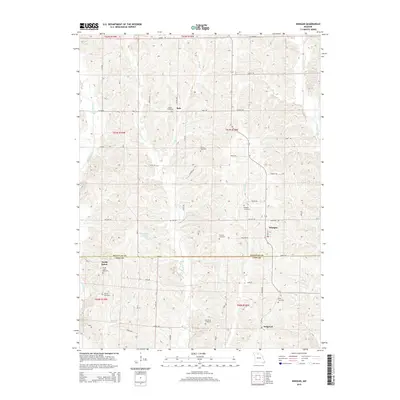
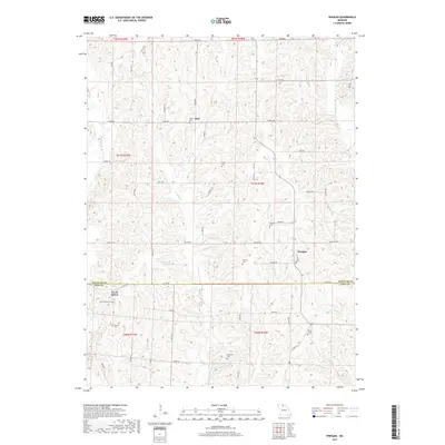
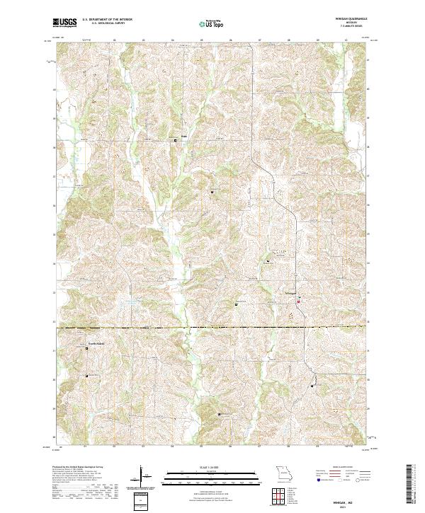
Winigan sits at the intersection of local routes along the Sullivan County and Linn County border, serving as a focal point for this agrarian landscape. The area is defined by a dense network of drainage systems, including the southward-flowing E Yellow Creek and Winigan Creek, which carve into the terrain. For genealogists and local historians, this survey is particularly valuable for its documentation of numerous family-named burial grounds scattered throughout the townships, such as Haines Cem, Tallman Cem, and Peavler Cem. The map also captures the small settlements of North Salem and Bute, providing a clear view of the rural road network and isolated water features like Mononame 43 Lake that support the local farming community.
Find a feature on this map
46 named features on this map. Tap any name to fly to it.
Don’t see what you’re looking for? This feature index may not catch every label — zoom into the map to look around manually.
Map Details
Editions of this 2021 Winigan Map
This is the sole edition of this map. No revisions or reprints were ever made.
Historical Maps of North Salem Through Time
5 maps found