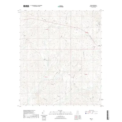
2018 Map of Winn
USGS Topo · Published 2018About this map
Tattilaba Cr and Dodey Creek drain this rural stretch of Clarke County, where the landscape is defined by the winding paths of local waterways and a network of named country roads. This area is characterized by scattered family settlements and burial grounds, providing a detailed record for genealogical research. The small community of Winn sits near the center, while Zimco is positioned in the northeast near the junction of Zimco Rd and RotCH Rd. Numerous cemeteries, including Old Union Cem, Saint Lukes Cem, and Austin Cem, are distributed across the terrain, often associated with small churches like Griffin Chapel Cem or family names such as Bumpers Cem. The road system, featuring routes like Coffeeville Rd and Ebenezer Rd, connects these remote points of interest through the wooded hills.
Find a feature on this map
42 named features on this map. Tap any name to fly to it.
Don’t see what you’re looking for? This feature index may not catch every label — zoom into the map to look around manually.
Map Details
Editions of this 2018 Winn Map
This is the sole edition of this map. No revisions or reprints were ever made.
Other maps of this area

1953 · Andalusia
USGS Topo · 1:250,000

1953 · Hattiesburg
USGS Topo · 1:250,000

1957 · Andalusia
USGS Topo · 1:250,000

1958 · Hattiesburg
USGS Topo · 1:250,000

1971 · Coffeeville
USGS Topo · 1:24,000

1972 · Tattlersville
USGS Topo · 1:24,000

1972 · St. Stephens
USGS Topo · 1:24,000

1978 · Jackson
USGS Topo · 1:24,000

1978 · McEntyre
USGS Topo · 1:24,000

1978 · Winn
USGS Topo · 1:24,000