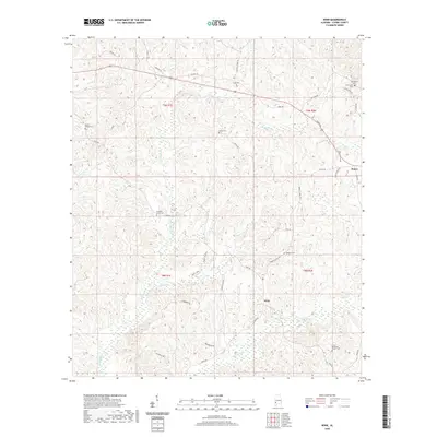
2020 Map of Winn
USGS Topo · Published 2020About this map
Winn and the surrounding Clarke County landscape are defined by a complex network of creeks and small family cemeteries that trace the settlement patterns of this Alabama region. The hydrology of the area is anchored by Tattilaba Cr and Kanetuche Cr, which wind through the terrain alongside several smaller tributaries like Dodey Creek. For genealogists and local historians, the high density of small burial grounds provides significant research value, including the Union Methodist Church Cem, Clarksville Cem, and the Saint Lukes Cem. The settlement at Zimco in the northeast corner serves as a secondary focal point, connected to the larger community by a web of rural routes such as Zimco Rd and Rotch Rd. This topography highlights how the community developed around these watercourses and established enduring religious and family landmarks throughout the 19th and 20th centuries.
Find a feature on this map
40 named features on this map. Tap any name to fly to it.
Don’t see what you’re looking for? This feature index may not catch every label — zoom into the map to look around manually.
Map Details
Editions of this 2020 Winn Map
This is the sole edition of this map. No revisions or reprints were ever made.
Other maps of this area

1953 · Andalusia
USGS Topo · 1:250,000

1953 · Hattiesburg
USGS Topo · 1:250,000

1957 · Andalusia
USGS Topo · 1:250,000

1958 · Hattiesburg
USGS Topo · 1:250,000

1971 · Coffeeville
USGS Topo · 1:24,000

1972 · Tattlersville
USGS Topo · 1:24,000

1972 · St. Stephens
USGS Topo · 1:24,000

1978 · Jackson
USGS Topo · 1:24,000

1978 · McEntyre
USGS Topo · 1:24,000

1978 · Winn
USGS Topo · 1:24,000